Photogrammetry and Our Art Pipeline
Bringing the real world into our games.
In some of our posts we’ve talked about a technique called photogrammetry, which we’re using in our art processes. This process allows us to add real world data to the art in our projects and can also help us better develop the look of our games. We thought everyone might want to know a little bit about photogrammetry and how we’re using it.

What is Photogrammetry?
Photogrammetry is the process of using photographic images to get real world measurements. The term photogrammetry was coined in 1867 by the Prussian architect Albrecht Meydenbauer. Meydenbauer created some of the earliest topographic maps and elevation drawings. Though photogrammetry has been used in topographic mapping for over a century, in the last few decades it has been used for the production of precise 3D data. In the past, photogrammetric measurements were recorded manually using references and perspective principles, which was time consuming and often inaccurate. Today, we use special software to interpolate photographic images and use computers to calculate the measurements needed for photogrammetry.

What Is Photogrammetry Used For?
Photogrammetry is used in many fields, such as architecture, manufacturing, engineering, forensics, surveying, medicine, geology, and archeology among others. It can be used to create 3D representations of large structures, topographical and 3D aerial maps, 3D printed objects, and highly realistic 3D virtual environments for movies and games. The process of photogrammetry and the elements it produces can be used to help create more accurate maps, both printed and digital, to help archeologists reconstruct ancient ruins, increasing our understanding of previous civilizations, and to help meteorologists better determine the location and rotation of tornadoes in a storm system, especially when used in conjunction with other data.

How Do We Use Photogrammetry?
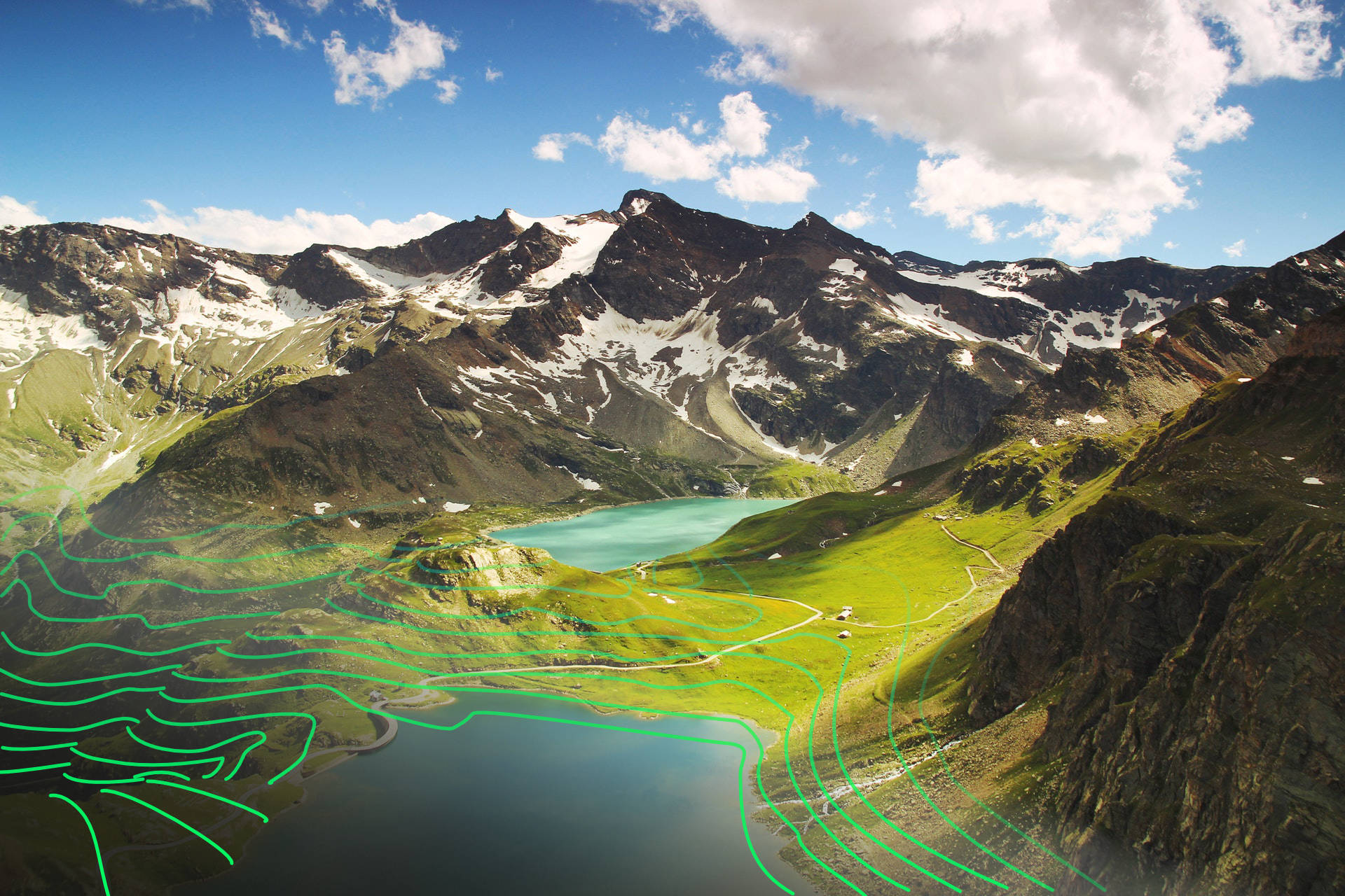
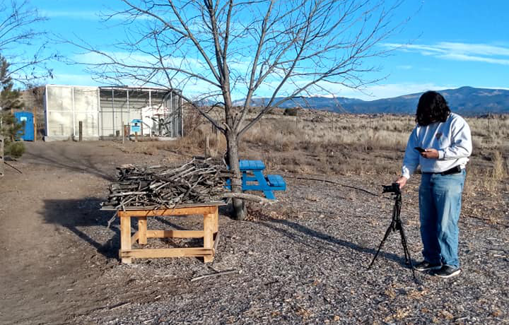
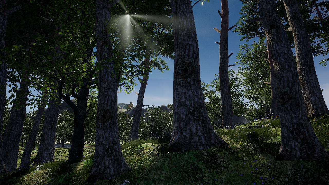
Of course, we use photogrammetry in our games to help in the creation of highly detailed virtual environments, whether real or imagined, for players to explore. We can use photogrammetry in several ways, such as the direct creation of 3D assets from a series of reference photographs. We can also use it to help create highly detailed and dynamic textures for objects and landscapes. A texture, for those of you who don’t know, is the information we place on the surface of 3D objects to give them color and detail. Another interesting and exciting way in which we employ photogrammetry is to utilize aerial photography along with reference photography to generate large and varied terrains within our game levels. Our terrain creation systems utilize photos and images in every aspect of our terrain creation, from the modeling of a terrain, to the dynamic texturing of the terrain, to the placement of trees and plants upon the terrain.
Well, there it is, a quick introduction to photogrammetry, how it is used in many industries, and how we employ photogrammetric processes in our games. For more information on photogrammetry and interesting info about how it’s used in various fields and industries, check out the links below.
References:
Photogrammetry and Remote Sensing
What is Photogrammetry?
The Use and Application of Photogrammetry for the In-field Documentation of Archaeological Features: Three Case Studies from the Great Plains and Southeastern Alaska
Terrestrial Photogrammetry of Weather Images Acquired in Uncontrolled Circumstances

Chris McKillip
SP Ent. Executive Director
Other posts by Chris McKillip
Contact author
Full biography
Full biography
Executive Director at SP Entertainment, he runs the show.
x
Facebook page